
The Gowanus Canal is a waterway that runs through the heart of Brooklyn, known for its rich history and, unfortunately, a significant amount of industrial pollution. It should be noted, however, that recent efforts have been made to clean up the canal’s murky waters and revitalize the surrounding ecosystem. To learn more about the past, present, and future of the canal, read on brooklyn-name.com.
History of the Gowanus Canal in Brooklyn
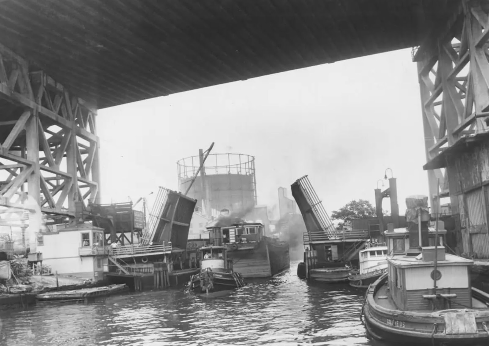
The Gowanus Canal was built in the 1860s. It was created to extend the industrial transportation route from the Erie Canal and New York Harbor to Brooklyn. It should be recalled that at the time, Brooklyn was the third largest city in America. Businesses began to grow around the canal like mushrooms after rain. Some of the most popular industries that favored the area around the canal included cement factories, chemical plants, ink and paint factories, incinerators, and artificial gas producers.
In addition to the economic rise of this area of Brooklyn, this rapid industrialization of the canal led to its rampant pollution. Untreated industrial waste, sewage, and surface water flowed into the canal, turning it into one of the most polluted water bodies in the United States.
To somehow counteract the growing pollution of this waterway, the so-called “Flushing Tunnel” was created in 1911. It was intended to replace the stagnant water of the canal with fresh, oxygen-rich water to improve its quality. And this plan worked, in fact, it was effective until the 1960s, when mechanical damage led to the closure of the tunnel.
Today, the contamination of this canal continues to affect fishing and recreation on the water’s edge for residents living nearby. Skin contact with water poses a health hazard, and fish consumption advisories are in place. Perch, pike, and eel are considered hazardous to all populations, and children and women of childbearing age are advised not to consume fish or crabs from the area.
Nearly forty years after it was shut down, the New York City Department of Environmental Conservation set about restoring the Flushing Tunnel and reactivated it in 1999. The tunnel is now operational, and its most recent modernization was carried out in 2014.
Modernity of the canal
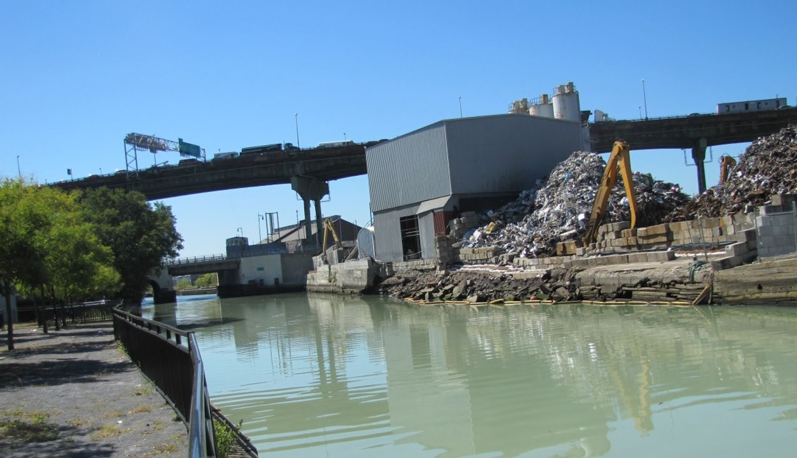
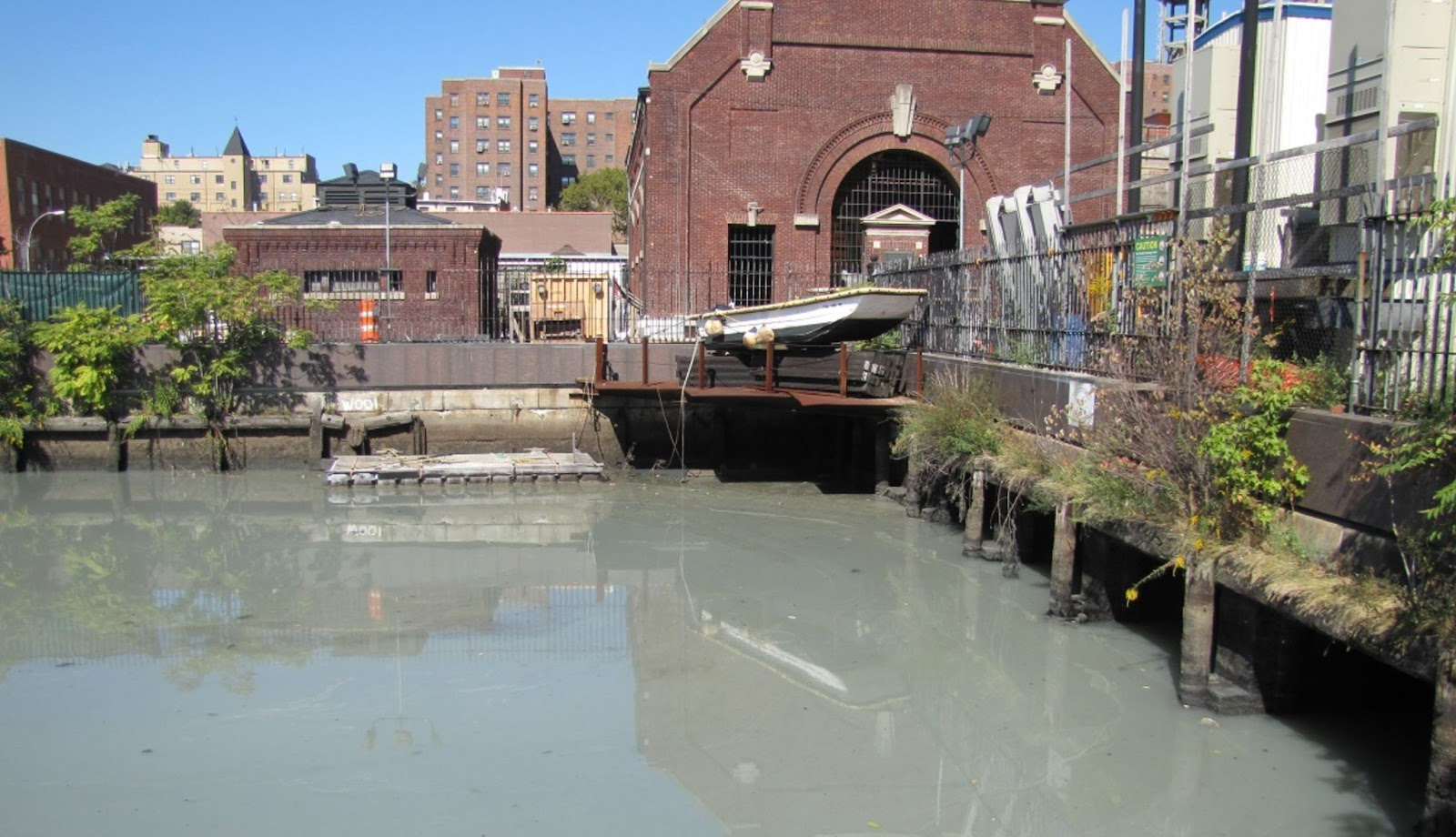
What does this waterway look like today? The Gowanus Canal is 30 meters wide and 2.8 kilometers long. Historically, the canal has been surrounded by several settlements, including Park Slope, Cobble Hill, Carroll Gardens, and Red Hook. It flows into New York Harbor. The adjacent waterfront is predominantly commercial and industrial, with concrete plants, warehouses and parking lots.
From the very beginning, Govanus was an important industrial transportation route. There were artificial gas plants, paper mills, tanneries, and chemical plants along the canal. Of course, all these companies did not care about the environment, dumping all their toxic waste into the canal.
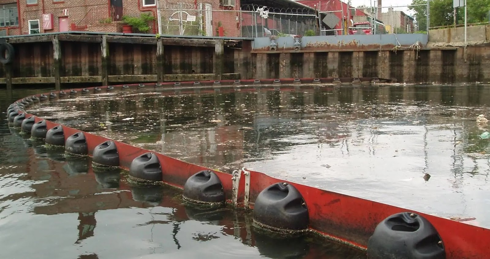
On top of that, during storms, pollution from the combined sewer system, carrying sanitary wastewater and rainwater from storm drains, entered the canal. As a result, the Gowanus Canal has earned a reputation as one of the most severely polluted water bodies in the United States.
The canal’s sediments contain high levels of pollutants, including hazardous substances such as polycyclic aromatic carbon compounds, polychlorinated biphenyls, and heavy metals such as mercury, lead, and copper, as well as coal tar waste, heavy metals, and volatile organic compounds. In total, there are more than a dozen such substances.
The US Environmental Protection Agency recognized the Gowanus Canal as a Superfund site in 2010. The decision protocol was published in 2013. This document described in detail the planned measures to clean up contaminated sediments at the site.
Cleanup plans
By all means possible, the New York City government wants to ensure that the local environment and associated recreational areas are protected during the ongoing cleanup. In addition to the ongoing Natural Resource Damage Assessment of the canal, the Natural Resource Damage Assessment has allowed for quantifying the impact of the contamination and obtaining funding from polluters for restoration projects.
Later, the Trustees published a draft Natural Resource Damage Assessment Plan for public discussion. The draft was available for comment and discussion. After the end of the comment period, the Trustees reviewed the comments and prepared the Final Harm Assessment Plan. This summarized Final Plan incorporated all comments received and was made a part of the public administrative record.
Upon completion of the investigation, the U.S. Environmental Protection Agency published a feasibility study that included cleanup alternatives to minimize risks associated with the canal.
In the plan, the EPA recommended removing all accumulated contaminated soft sediment from the bottom of the canal by dredging. The dredged areas were then recommended to be capped. Prior to that, the EPA also recommended that measures be taken to prevent combined sewer overflows into the canal that could jeopardize the cleanup.
Under EPA oversight, contractors began the initial phase of dredging in the main channel of the Gowanus Canal north of the 3rd Street Bridge in November 2020. An excavator mounted on a platform barge dredged approximately 35,000 cubic yards of contaminated sediment from the canal bottom. The dredged material was loaded onto small barges and transported through the canal to a collection site.
What was done
The sludge was treated so that it could be used as a landfill cover. Parts of the sediment with a high level of resin contamination were thermally treated. The initial stage of dredging was completed in late spring 2021. As it became known, after analyzes, the initial sediment in parts of the middle and upper segments of the canal was contaminated with coal tar.
Detailed engineering and design work for the middle section of the canal was carried out in parallel with the work on the upper section to speed up the process. The 100% design report for the middle section of the canal was completed in June 2024.
Initial work on the middle section of the canal, which began in late June 2024, also included dredging the access to facilitate the mobilization and use of equipment needed to carry out work on this section, as well as removing debris and building a bulkhead.
The cost of this work is estimated at $369 million and will take several years to complete. It is expected that the lower section of the canal will be realized after the middle section is completed. In addition, in order to avoid sewage overflow, it was proposed to build two reservoirs.
Sources: